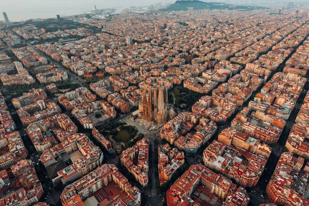
Spain's visitors go to the coast and to Andalusia. Its outdoor country is in the north and along the mountain spines, which is the opposite direction and correspondingly empty.
The Picos de Europa
Limestone mountains rising to 2,500 metres within twenty kilometres of the Atlantic, in Asturias, Cantabria and León.
The Cares Gorge is the classic walk — twelve kilometres each way on a path cut into the gorge wall, largely level but exposed with steep drops and no shade. Not technical, and unsuitable for anyone uncomfortable with heights. Most people walk out and back, making 24 km.
The Fuente Dé cable car lifts you to 1,800 metres for high-level walking without the ascent.
The Lakes of Covadonga — access is restricted to shuttle buses in peak periods, which is worth checking before driving up.
Season: June to September for the high routes; the gorge is walkable most of the year.
The Pyrenees
Along the French border, with the Spanish side generally drier and sunnier.
Ordesa y Monte Perdido national park is the centrepiece — a glacial valley with waterfalls, comparable to Yosemite in shape and with a fraction of the visitors.
Aigüestortes in Catalonia for lakes and granite.
The GR11 crosses the range coast to coast and is a serious multi-week undertaking.
Andalusia's mountains
Which most visitors to Andalusia never see.
Sierra de Grazalema — the wettest place in Spain, green, with the white villages scattered through it and good walking year round except high summer.
Sierra Nevada — mainland Spain's highest peaks, with skiing in winter and the Alpujarras villages on the southern slopes for walking between them.
El Caminito del Rey, in Málaga province — a walkway pinned to a gorge wall, restored after decades of dereliction. Timed entry, capped numbers, books out weeks ahead in season. Linear, with a shuttle bus back to the start, and it closes in high wind.
The Camino de Santiago
Not a single route but a network. The Camino Francés from the Pyrenees is the busiest; the Camino del Norte along the northern coast and the Via de la Plata from Seville are quieter.
May, June and September avoid both summer heat on the meseta and winter weather in the mountains.
Booking is not traditional — the albergue system runs first-come — though the French route's popularity means some pilgrims now reserve ahead in peak months.
The credencial pilgrim passport is stamped along the way and is required for albergues and for the certificate at Santiago.
Water and coast
Costa Brava kayaking and the Camí de Ronda coastal footpath between the coves.
Canyoning in the Sierra de Guara, in Aragón, which is the best in Spain.
Surfing on the Basque and Cantabrian coasts, best in autumn.
Practical
| Region | Best months |
|---|---|
| Picos de Europa | Jun–Sep |
| Pyrenees | Jul–Sep high routes |
| Grazalema | Mar–Jun, Sep–Nov |
| Alpujarras | Apr–Jun, Sep–Oct |
| Caminito del Rey | Year round, book ahead |
You need a car for most of these. Public transport reaches the regional towns and not the trailheads.
Refugios in the Picos and Pyrenees provide mountain accommodation and meals, and should be booked in season.